
Our Future Is Growing
LEARN
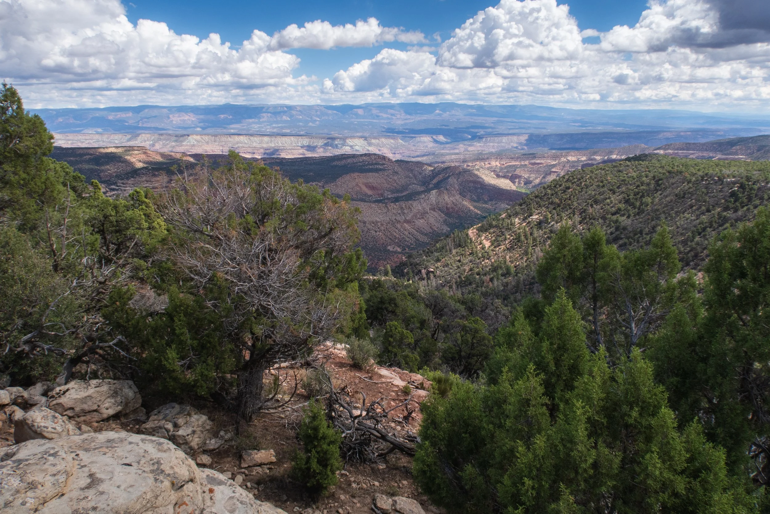
The BLM Uncompahgre Field Office manages nearly 680,000 acres of public land in southwest Colorado, along with over 910,000 acres of federal subsurface minerals. This landscape spans six counties: Montrose, Delta, Ouray, San Miguel, Mesa, and Gunnison — and four major river systems: the Gunnison, San Miguel, Dolores, and Uncompahgre.
Across the landscape, these public lands support ranching and farming economies, important wildlife habitat, and a thriving outdoor recreation sector that draws visitors from across the country.
The BLM is now developing a Resource Management Plan Amendment that will guide decisions about oil and gas development, conservation, recreation, and land use for the next 20–30 years.
Community-based efforts have focused on protecting this landscape for decades. The BLM must listen to local voices, and not allow reckless oil and gas development across this area.
WHY THIS MATTERS
This planning area is home to some of the most beloved landscapes in the Western Slope of Colorado, including wildlands in the Dolores River Canyon Country and the Uncompahgre Plateau, as well as accessible recreation like Buzzard Gulch in Montrose, Jumbo Mountain in Paonia, Fall Creek Recreation Site near Telluride, and the Ridgway Trail System. Despite these values and public uses, the draft plan proposes to open 98% of the planning area to oil and gas development. The Draft plan also guts existing and proposed public land protections.
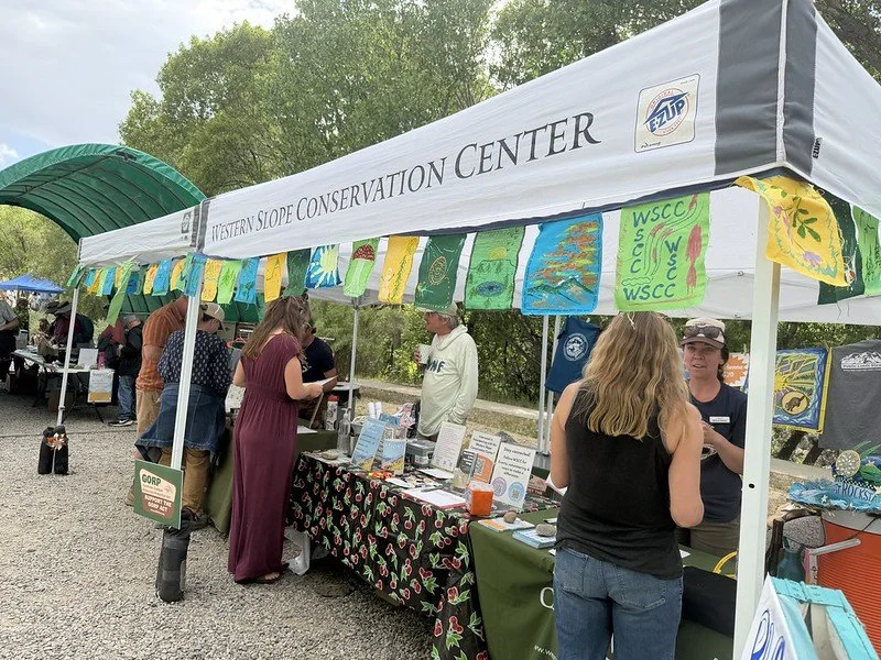
Photo: Keshia Anderson, Western Slope Conservation Center
WILDLIFE.
Critical wildlife habitat and wildlands are at risk. The planning area supports big game migration corridors, provides habitat for sensitive and declining species, and contains some of the state’s last intact wildlands.
The Uncompahgre Plateau is one of five areas across Colorado that is prioritized by Colorado Parks and Wildlife’s State Wildlife Action Plan for the improvement of big-game winter range and migration corridors. Several areas within the field office, including Roubideau Canyons, Dolores River Riparian and Paradox Front, and Elephant Hill, contain crucial habitat identified by Colorado Parks and Wildlife as “rare or fragile” and “irreplaceable.” These places are “essential to achieving or maintaining fish and wildlife.”
Over the last 25 years, this area has seen significant declines in big game population due to development pressures associated with human population growth, increased recreation pressure, habitat alteration from energy and mineral development, and increasing drought, amongst other issues.
Once fragmented by roads and development, these values are extremely difficult—if not impossible—to restore.
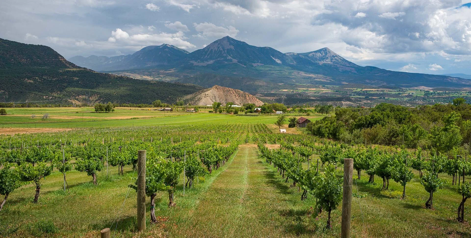
Photo: Jon Mullen, Wilderness Workshop
OUTDOOR RECREATION.
Outdoor recreation is a major economic driver in the area. Public lands in the Uncompahgre Field Office support a robust outdoor recreation economy, including:
Hunting, fishing, and wildlife viewing
Rafting and boating on the Gunnison, San Miguel, and Dolores Rivers
Hiking, camping, and backcountry recreation
Mountain biking and off-highway vehicle use
Several beloved recreation areas including Jumbo Mountain in the North Fork Valley, the Buzzard Gulch trail system near Montrose, the Ridgway trail system, and the Dolores River in the West End of Montrose County are included in the planning area’s boundaries.
These places and activities generate significant economic value for local communities through tourism spending, job creation in guiding, hospitality, and retail sectors, and increased property values and quality of life. Protecting intact landscapes and clean rivers sustains this long-term economic engine. Industrial development that degrades scenic, ecological, and recreational values puts these benefits at risk.
CLIMATE CHANGE.
Colorado’s public lands do not need additional oil and gas development. Much of the planning area is already open to development, and Colorado is facing increasing drought pressures. Expanding leasing in this region conflicts with water scarcity realities, undermines recreation and agriculture economies, and prioritizes short-term extraction over long-term community stability.
COMMUNITY INPUT.
Local communities have been deeply engaged and their input must count. Planning for this landscape has been underway for over a decade, with extensive public and local government involvement. Leading up to development of the Draft plan, the BLM held extensive public meetings in local communities, received hundreds of comments from western Coloradans, and engaged with local governments such as counties, towns and Colorado Parks and Wildlife. The North Fork community previously crafted its own proposal for the future, which was initially adopted into the BLM’s process for consideration. Unfortunately, the current Draft plan is far astray from this vision.
A durable, effective plan must be built on transparent, science-based decision-making and meaningful incorporation of local voices.
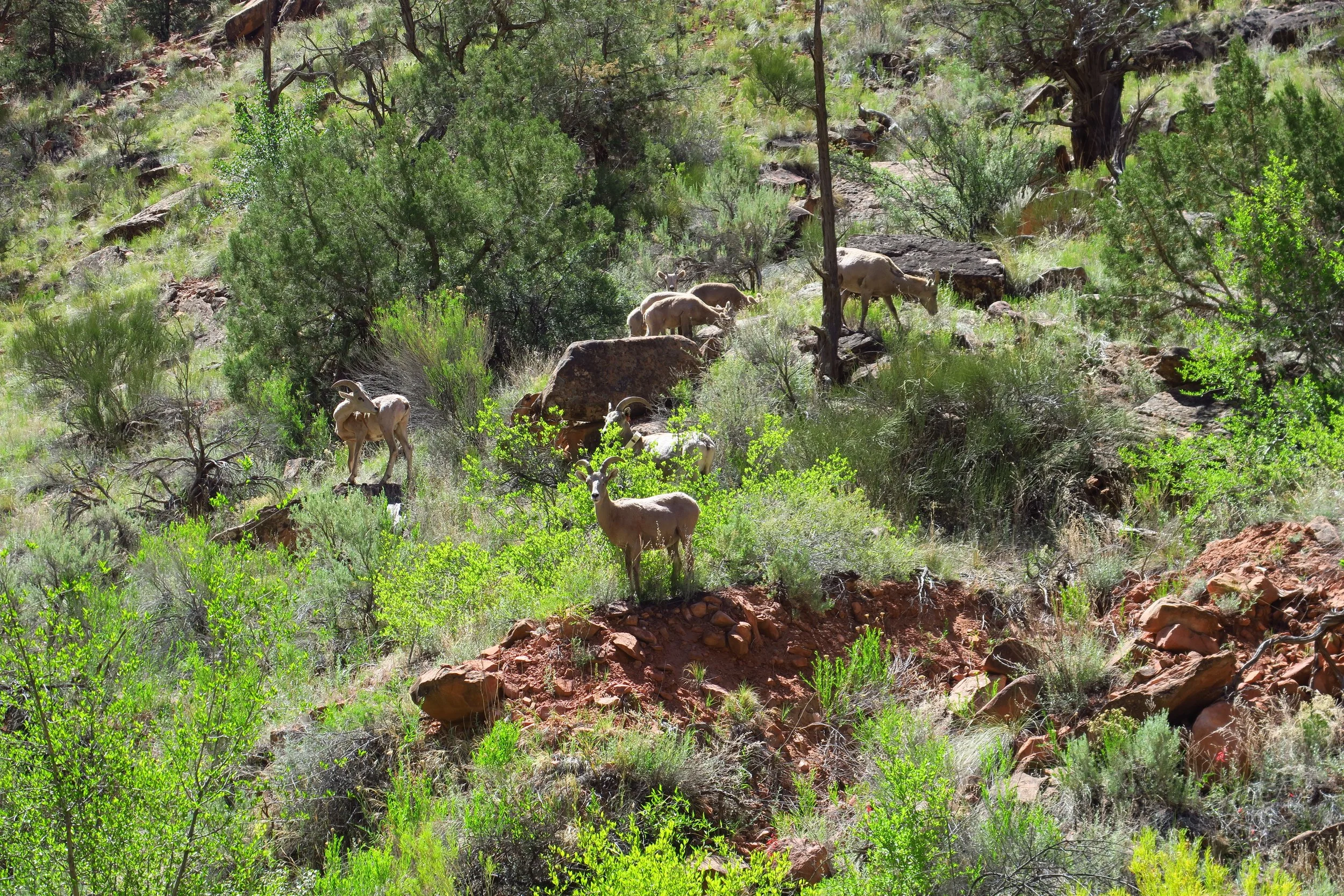
Photo: Jon Mullen, Wilderness Workshop
Photo: Wilderness Workshop:
WATER.
Clean water is essential for agriculture and communities. The planning area is home to significant agricultural resources, including the North Fork Valley, Colorado’s largest concentration of organic farms and a designated American Viticultural Area. Additionally, the Roubideau-Potter-Monitor area and the Tabeguache area have watersheds within Colorado’s newly designated “Outstanding Waters,” certifying that they meet exceptional standards of water quality and should be protected from degradation.
Oil and gas development introduces risks, including: surface spills and contamination, groundwater impacts, and industrial activity near water infrastructure. Contamination could spread quickly through interconnected irrigation systems, threatening farms, ranches, and local food systems.
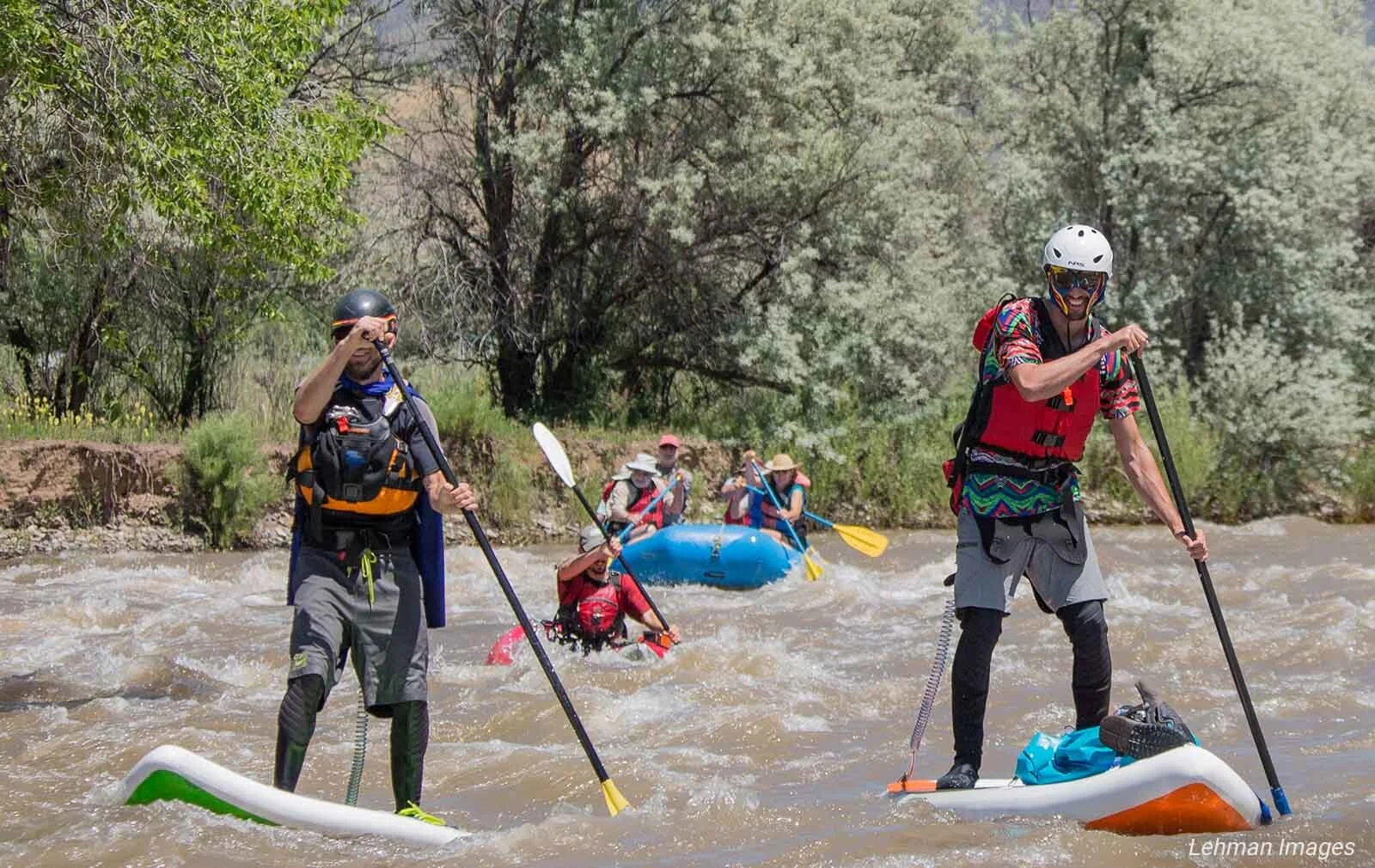
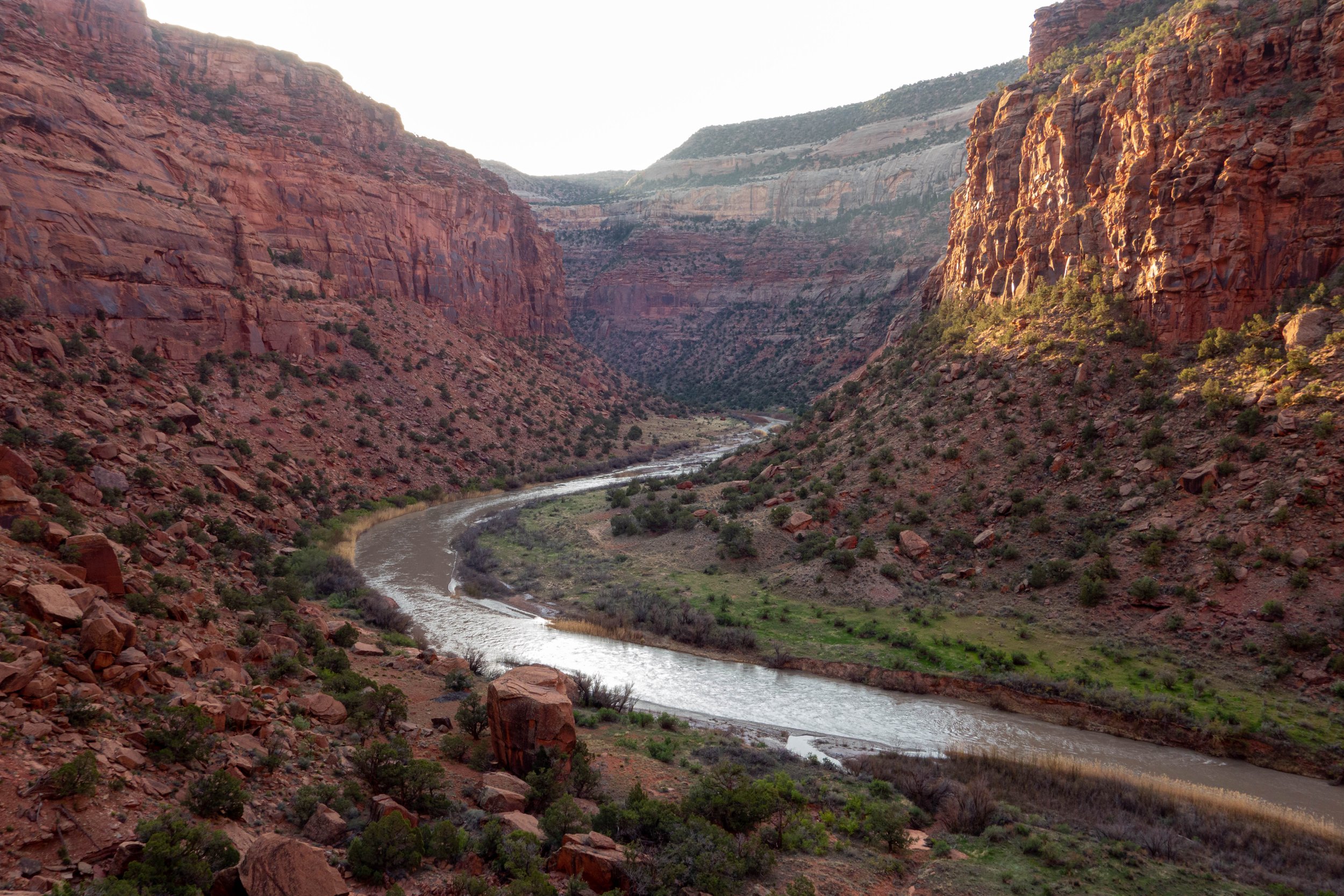
Photo: Jon Mullen, Wilderness Workshop
WILDERNESS.
The public lands within the planning area contain some of the state’s treasured wild places. Specifically the wilderness quality lands adjacent to the Dolores River Canyon Wilderness Study Area (Davis Mesa, Nyswonger Mesa, Wray Mesa), the Camel Back Wilderness Study Area (Monitor Creek and upper Potter Creek), wildlands in the Roc Creek/Carpenter Ridge area, and lands adjacent to the Adobe Badlands Wilderness Study Area. Wildlands are essential for protecting biodiversity, clean water, and climate resilience. They provide critical habitat for wildlife, offer opportunities for outdoor recreation, and help to mitigate the impacts of climate change. These places should be closed to future oil and gas development, and managed to protect their natural values.
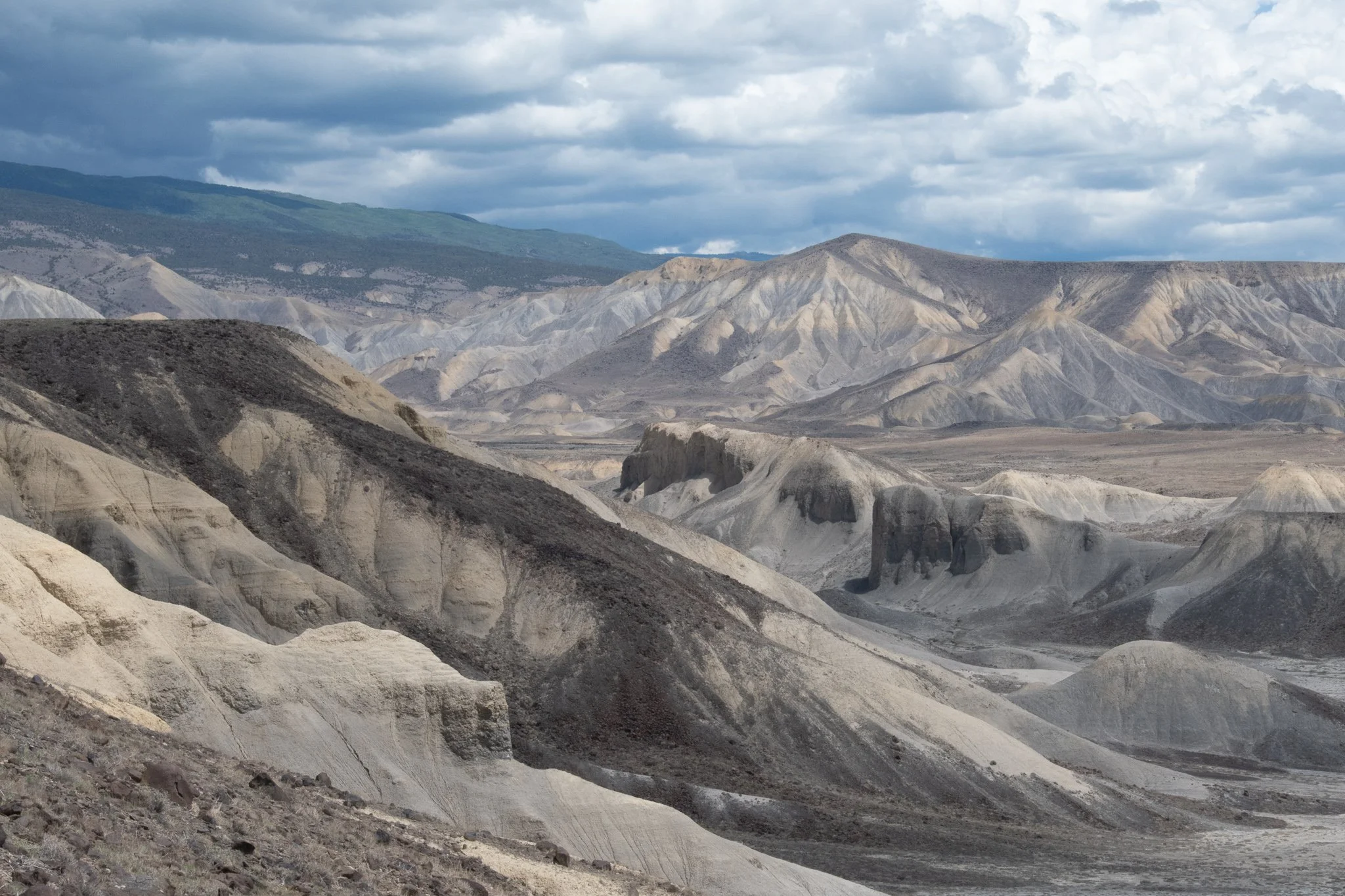
Photo: Scott Braden, Wilderness Workshop